Improved Glacier Monitoring Using Satellite Radar
International researchers involving Graz University of Technology have used radar data to determine which glaciers in High Mountain Asia are growing or shrinking in which season. For parts of Central Asia and the Himalayas, the findings contradict previous assumptions.
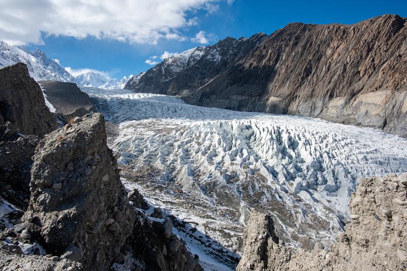
Glaciers are dynamic entities: over the course of the year, phases of mass growth, particularly due to snowfall, alternate with periods in which glaciers lose mass. Research assigns glaciers to a so-called accumulation regime depending on the time of mass growth. In the Alps, winter accumulation is predominant, while in the high mountains of Asia there are regions with both winter and summer accumulation, depending on seasonal precipitation and temperature. A new method makes it possible to assign these regimes more reliably than before: an international research team involving Tobias Bolch from the Institute of Geodesy at Graz University of Technology has used radar data from European Sentinel-1 satellites to measure the firn, snow and ice boundaries of Asian glaciers over the course of the year and derive their accumulation regimes. While the findings are largely consistent with the prevailing models, they are different than previously assumed for the eastern Pamir, the Tian Shan, the Kunlun Mountains and parts of eastern Himalaya.
The accumulation regime is relevant for two reasons: Firstly, glaciers that grow predominantly in summer have lost significantly more ice mass since the year 2000 than glaciers growing in winter months. Secondly, accumulation regimes are used to model glacier mass balances and glacier runoff.
Radar backscatter reveals exact extent of snow cover
As part of their investigations, the researchers evaluated high-resolution data from the European Space Agency's Sentinel-1 satellites, which scan the entire surface of the Earth by radar every 12 days. “The backscatter values change depending on whether the radar signal hits rock, ice, firn, wet or freshly fallen snow,” explains Tobias Bolch. The researchers used these backscatter values to reconstruct the snow conditions on the glaciers for several years and thus determine their accumulation regime. For the glaciers in the eastern Pamir Mountains, for example, it was previously assumed that the main precipitation and thus the seasonal mass increase took place in summer. However, the analysis of the radar data has now shown that the ice growth takes place in the winter months.
Improved forecasts of mass balances and meltwater runoff from glaciers
Bolch explains why the radar analysis contradicts some of the existing assumptions: “There are very few weather stations in High Mountain Asia. Precipitation is usually measured in valley or basin locations, and the weather conditions at the glaciers are calculated based on this data. This leads to inaccuracies, as the weather at higher altitudes in the mountains is strongly influenced by global circulation systems, while the influence of local conditions is much higher in the valleys and basins.” The radar-based analysis of snow conditions, on the other hand, provides reliable, high-resolution information on precipitation conditions over a wide area, even in remote high mountain regions, thereby improving the forecasts for the mass balance of glaciers. This helps to better predict the effects of climate change, such as future meltwater runoff.
Wissenschaftlicher Ansprechpartner:
Tobias BOLCH
Univ.-Prof. Dr.rer.nat.habil.
TU Graz | Institute of Geodesy
Phone: +43 316 873 6848
tobias.bolch@tugraz.at
Weitere Informationen:
https://www.tugraz.at/en/research/fields-of-expertise/sustainable-systems/overview-sustainable-systems This research is anchored in the Field of Expertise “Sustainable Systems”, one of TU Graz's five strategic focus areas.
https://dragon5.esa.int/ The results originated within the framework of “Dragon 5”, a cooperation between the European Space Agency (ESA) and the Ministry of Science and Technology of the People's Republic of China.
Die semantisch ähnlichsten Pressemitteilungen im idw


